 |
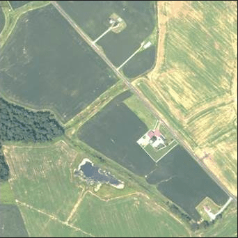
| Agricultural photo taken by FalconScan UAS. Photo: FalconScan |
[Avionics Today 01-22-2014] FalconScan Unmanned Aircraft System (UAS) company has introduced a new aerial mapping camera system. The system capabilities include flight planning, guidance and data capture software, a spectrally calibrated digital high spatial resolution camera system, and cloud based software to geo-spatially locate, orthorectify, and create large end products mosaics that can be rendered in two or three dimensions.
The UAS can be used for operations such as agriculture, monitoring environmental hazards and disaster response, among other commercial or humanitarian operations, contributing to the widening use of business UAS applications.
 :
: