 |
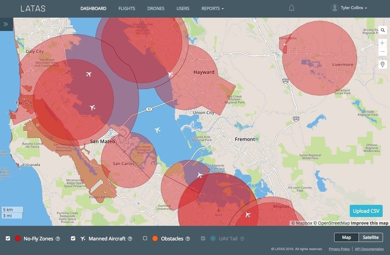
| LATAS web dashboard, which acts as a digital observer for the drone operator. Photo: PrecisionHawk |
[Avionics Today 09-09-2016] PrecisionHawk, a provider of aerial data and safety platforms for Unmanned Aircraft Systems (UAS), has launched a Low-Altitude Traffic and Airspace Safety Platform (LATAS). LATAS links UAS, 3-D ground data and live manned aircraft data from the FAA into a single system that tells a drone operator when and where it is safe to fly.
The launch comes shortly after PrecisionHawk signed a five-year deal with Harris Corp., a systems integrator for the FAA. By integrating Harris’ manned aircraft data, LATAS can provide traffic alerts to drone operators and build tools for drones and manned aircraft to see each other’s real-time location for the first time.
PrecisionHawk first proved this concept under the FAA Pathfinder program and then with the Department of Homeland Security, and last week became the first company approved for beyond line of sight commercial flight under a Part 107 waiver.
 :
: