The FAA awarded a task order contract to the New York UAS Test Site for the next drone integration project to help advance safe and routine drone operations and to support development of a traffic management system for UAS. (Photo: NUAIR)
In a recent announcement, the New York UAS Test Site was chosen by the Federal Aviation Administration for a project that supports safe drone integration and the development of a new traffic management system for unmanned aircraft systems, or UAS. Managing the project is NUAIR (Northeast UAS Airspace Integration Research Alliance), a nonprofit organization based in upstate New York that was founded in 2012 to manage the New York UAS Test Site.
The FAA and NUAIR started the project last month, working alongside partners such as ANRA Technologies, OneSky, AX Enterprize, and Cal Analytics as well as the Oneida County Sheriff’s Office and Oneida Indian Nation, according to the announcement.
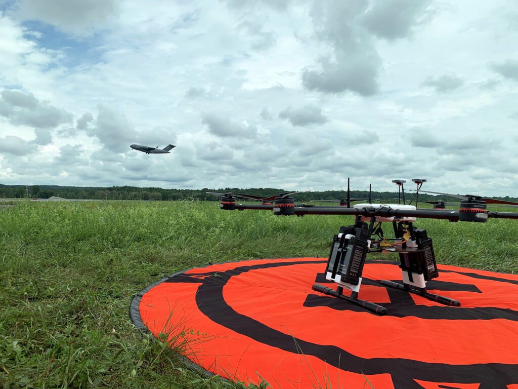
As more and more business cases emerge where drones need to perform beyond visual line of sight (BVLOS) operations, drone operators will increasingly need to use low-altitude airspace (400 feet and lower) in a safe and efficient way. The project involves testing and evaluating concepts that have the potential to enhance the capabilities of future UAS traffic management (UTM) systems. NUAIR will continue to collaborate with the FAA beyond next spring, when the project is expected to conclude.
NUAIR’s president and CEO, Ken Stewart, explained that their organization works with companies developing drones or technologies for UAS to help determine appropriate pilot certification and optimal methodologies. NUAIR also assists with the process of obtaining waivers and exemptions from the FAA to help these companies advance their operations.
NUAIR hosted the fourth annual UAS Public Safety Summit this week at Griffiss International Airport. A variety of industry-leading companies, mostly U.S.-based, exhibited their technology. Some vendors also performed live demonstrations of their drones. The summit was geared towards those involved in public safety in the state of New York, including law enforcement officers, firefighters, and first responders.
Stewart explained, “When you fly a drone around a building, that’s beyond your visual line of sight; you’re not allowed to do that. We help them get tactical BVLOS waivers from the FAA while maintaining safety.” NUAIR also assists in developing Methods of Procedure, or MOPs—step-by-step guidelines to complete a project.
“We also help them with the business case—determining what the return on investment is,” he shared in an interview with Avionics International.
Visual observers are no longer required because of NUAIR’s evolved capabilities, including radar systems specifically for detecting low altitude drones and small aircraft. “We can see everything we’re tracking in the airspace,” he said. “If we’re flying a drone, we don’t collide with anything—we detect them.”
Manned aircraft flying in the airspace at the UAS test site broadcast signals that can be detected with ADS-B capabilities. “Those signals tell us their altitude and which way they’re heading, and we can avoid them that way,” Stewart said. Most emergency helicopters have ADS-B Out, so those aircraft can be detected and avoided as well.
The majority of drones don’t currently have ADS-B capabilities because although Remote ID has been passed, it hasn’t been implemented yet, he explained.


NUAIR president and CEO, Ken Stewart, delivered opening remarks at the New York UAS Public Safety Summit this week. (Photo: Jessica Reed)
Stewart mentioned that using drones for infrastructure inspection is an incredibly valuable application. “It’s not just about how much it costs to have a truck with a bucket to hang somebody over a bridge for an inspection. You have to block lanes of traffic. New York’s unanticipated lane closures are a $14 billion problem.”
New York has more than 17,000 bridges, each of which has to be inspected every two years. That comes out to 39 bridges that must be inspected each day. A drone can perform an inspection and create a 3D model in 30 minutes that would otherwise take two and a half hours, Stewart noted. Every minute of lane closure results in an economic impact of $411. In addition, lane closures lead to traffic backing up and increased greenhouse gas emissions. According to Stewart, just doing initial bridge inspections with drones saves $1 billion annually.
“There’s a lot of benefits that people don’t think about when they think about a drone,” he remarked.
 :
: