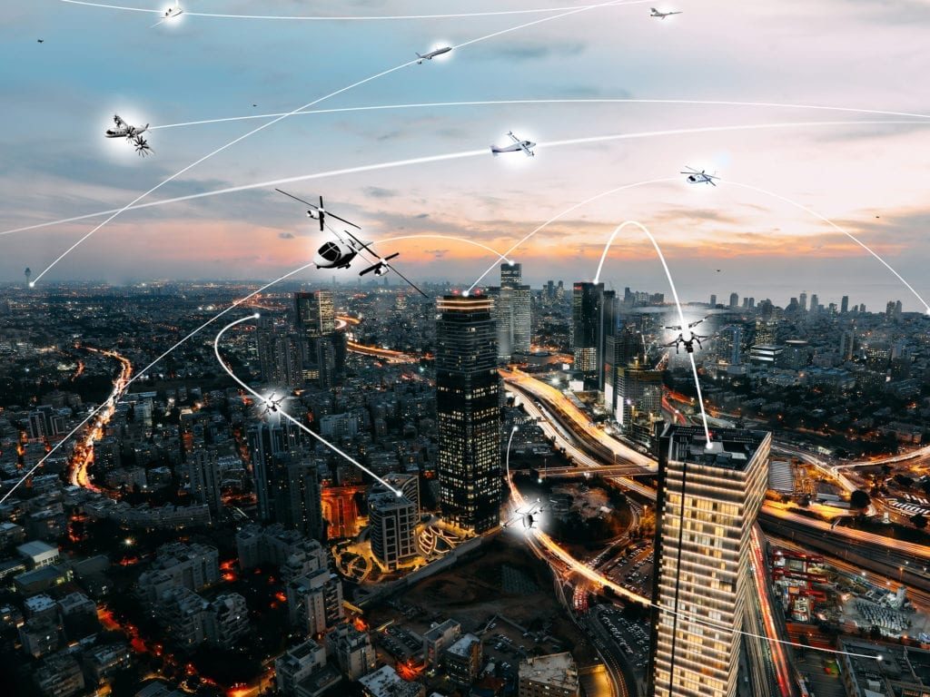
Oklahoma State University is part of a team of universities to receive $5.2 million over four years to improve real-time weather forecasting of low-level winds and turbulence in rural and urban environments. (NASA)
While the development of advanced air mobility (AAM) aircraft like drones and air taxis is being pitched as an advancement of logistical support to move cargo and people, a project from university researchers and NASA could allow these aircraft to create more accurate weather predictions.
Oklahoma State University is part of a team of universities to receive $5.2 million over four years to improve real-time weather forecasting of low-level winds and turbulence in rural and urban environments.
“The real focus here is that in an urban environment, you can think about microclimates particularly when it relates to wind,” Dr. Jamey Jacob, director of Oklahoma State University’s Unmanned Systems Research Institute, told Avionics International.
This would essentially create PIREPs or Pilot Reports for drones, Jacob said.
The aircraft would carry sensors to take measurements of the surrounding conditions and then report them back to a traffic management system to provide drone and air taxi operators with weather data. This data could also be reported into a forecasting system to provide micro weather forecasts so that even parts of the population who are not using AAM vehicles can take advantage of it.
“As drones are flying, they’re able to take measurements of these conditions and report them back to the unmanned traffic management network,” Jacob said. “But simultaneously, they can take this data and then report it back to a real-time forecasting system, and that real-time forecasting system can provide micro weather forecasts and updates about what you would expect to see for both urban air taxis and for drones flying in urban environments.”
The thermodynamic sensors on the aircraft would measure pressure, temperature, and humidity.
“Those are the three important things for the weather forecasting piece and then other sensors that measure wind,” Jacob said. “Those can be integrated sensors in the vehicle or those can actually be derived from the inertial measurement unit that you have onboard the aircraft as well.”
This kind of weather forecasting would be helpful because current modeling is two-dimensional and not much weather forecasting is happening in these areas.
“Our weather observations right now are very 2D,” Jacob said. “We take measurements on the ground, we fly weather balloons but they’re very limited in terms of what they see and how often they fly, and do we have radars that look down kind of projected on a plane. So we don’t really do three-dimensional weather observations, and both drones and urban air taxis really really open that up for us.”
Using drones and air taxis like this further increases their use for the broader community and not just people directing using them.
“It has broad societal impact, right, even if you don’t have deliveries by drones that you don’t fly in an urban air taxi, your weather forecasts will be improved and your weather alert system will be enhanced greatly by this will protect potentially saving life and property,” Jacob said.
Jacob said he hopes that this capability could also improve severe weather forecasting.
“Eventually we hope to be able to take the same type of system to improve severe weather forecasting, as well, which is going to become more important as we continue to have extreme weather events that end up having very very micro impacts on certain areas, whether it’s flash floods or icing conditions,” Jacob said.
The team is still in the first year of the four-year project. They have completed pilot tests of the system with the National Weather Service and the National Oceanic and Atmospheric Administration.