 |
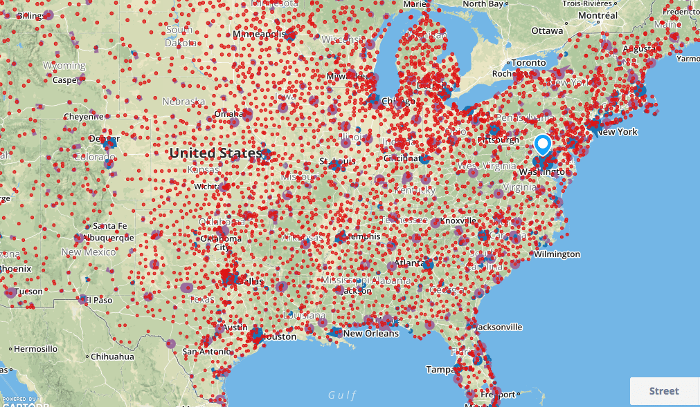
| Map showing recreational airspace across the U.S. Photo: AirMap |
[Avionics Today 04-01-2015] AirMap, a free, comprehensive digital map that allows Unmanned Aircraft System (UAS) operators to visualize the airspace around them, including areas where they may not be permitted to fly, is now available to U.S. operators. With complex and constantly changing airspace rules for UAS in place as the FAA moves toward a final rule on UAS regulation, AirMap removes barriers to compliance by providing the low altitude airspace information that unmanned aircraft operators need.
The map integrates multiple sources of reliable data and gives UAS operators a single view of the restricted areas around an area of operations. The beta-version of the site is now live in the U.S. and launching internationally soon. AirMap also features a feedback function that will allow beta testers to request additional features.
 :
: