 |
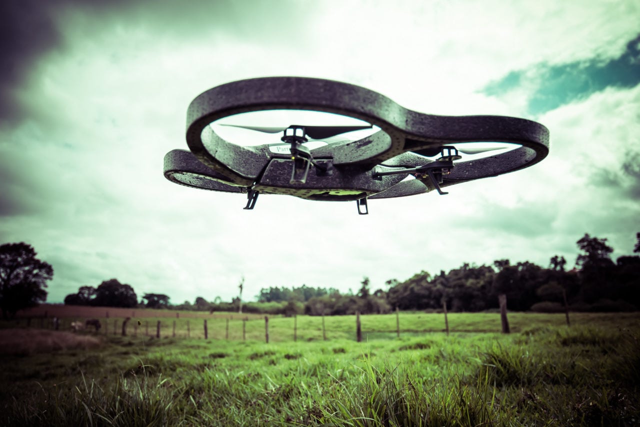
| Photo: Lima Pix (Flickr) |
[Avionics Today 08-08-2014] Drone Aviation Corp. (DAC), a developer of specialized tethered drones, will begin offering an aerial photography package for land management, agriculture and real estate purposes.
According to the DAC, the drone photogrammetry can be used for various safety and civil applications including land surveying, land management and planning and road construction and repair. They predict the technology is also applicable for a broader range of environmental areas, including topographic research, archaeology, geology and global warming studies.
Designed for public safety and civil purposes, DAC’s commercial tethered systems are different from free flying drones. The drones are secured to a, tether line, which remains connected to the ground, allowing it to safely operate in the National Airspace in compliance with FAA regulations.
 :
: