 |
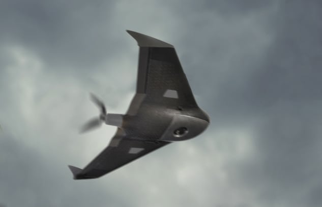
| Trimble Ux5 Aerial Imaging Rover UAS in flight during bad weather. Photo: Trimble |
[Avionics Today 11-03-2014] Trimble’s latest enhancements to its Trimble Access Aerial Imaging 2.0 application promise to offer an enhanced user interface, more thorough flight planning and flexibility in-flight control for Unmanned Aircraft Systems (UAS) platforms.
The Aerial Imaging application, expected to be available in December, is a software tool used with the Trimble Tablet Rugged PC for planning aerial missions, performing pre-flight checks and monitoring flights for the Trimble UX5 aerial imaging rover. The software enhancements include a full redesign of the user interface for a streamlined workflow, and upgrades to flight design and control. These improvements provide greater flight planning flexibility in applications such as boundary and topographic surveying, mining assessment and exploration as well as heavy construction modeling, among others.